Regional Mapping Tool
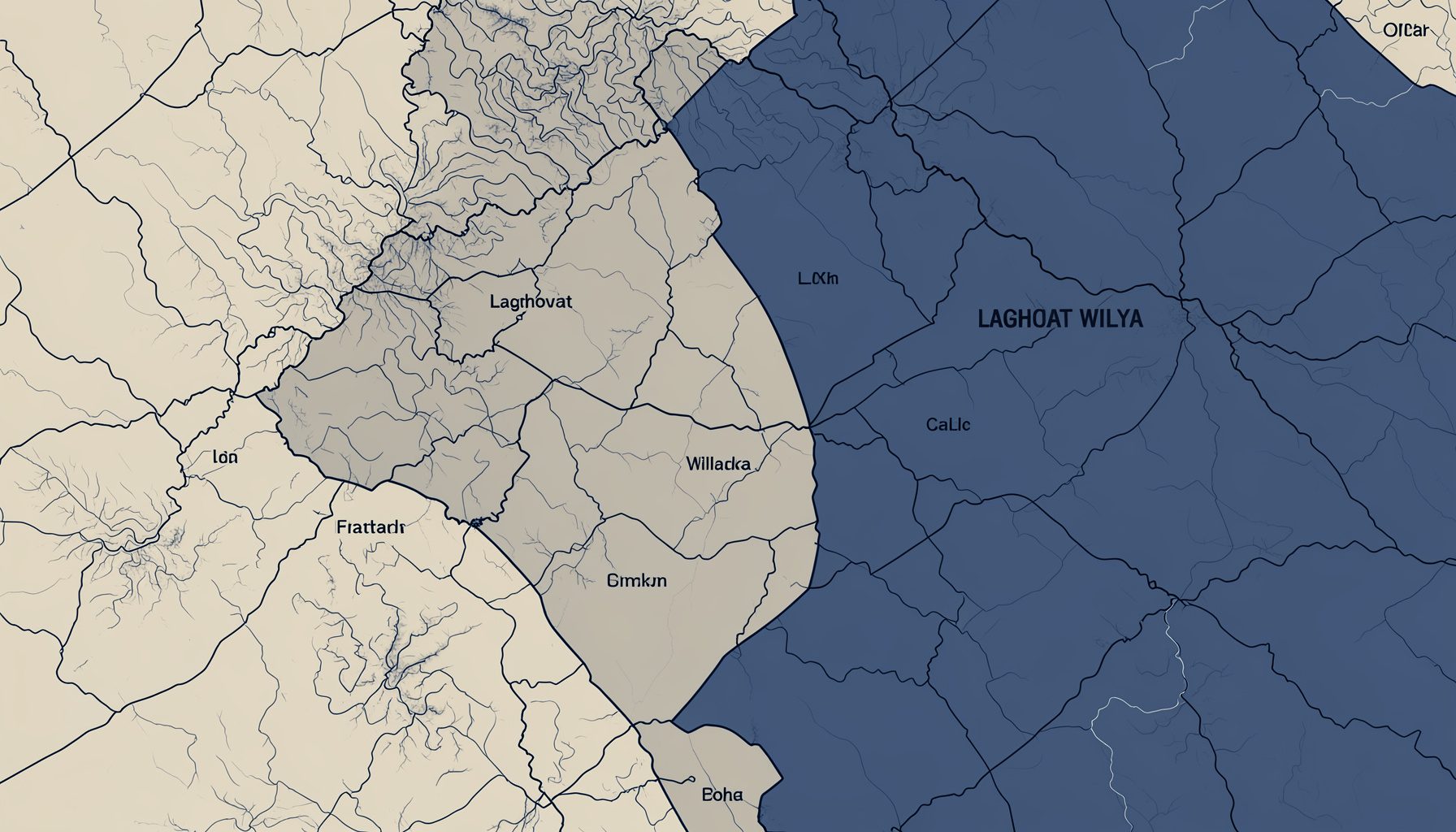
Carto-Laghouat provides a geographic overview of the Wilaya, helping residents, visitors, and investors explore the region's layout, administrative boundaries, and key points of interest.
 Interactive Map — Explore the Wilaya
What You Can Discover
Administrative Divisions
View the boundaries of Daïras and Communes across the Wilaya for a clear understanding of local governance areas.
Tourist Sites
Locate museums, hotels, and natural landmarks throughout the region. See the Tourism section for detailed listings.
Transport Networks
Identify inter-Wilaya routes, inter-Communal connections, and permanent taxi hubs serving the area.
Health Facilities
Pinpoint hospitals, clinics, maternity wards, and duty pharmacies across the Wilaya.
Investment Zones
Explore areas relevant to economic activity, rural development, and business opportunities. Visit the Invest section for more.
Public Services
Find administrative offices, Directions, and public service points throughout the region.
Related Resources
- Tourism & Culture — Hotels, museums, and tourist sites
- Investment & Business — ANDI, Chamber of Commerce, SME support
- Home — Return to the main portal
Using the Map
Carto-Laghouat is designed to give a clear geographic overview of the Wilaya. Use it to orient yourself within the region, plan travel between Communes, or identify service locations before visiting in person.
The map integrates data from multiple Wilaya directorates to provide an up-to-date spatial reference for Laghouat.
The interactive mapping tool for the Wilaya of Laghouat offers a practical way to explore the region's geography and administrative structure. Users can view the boundaries of Daïras and Communes, gaining clarity on how local governance areas are organized across this expansive territory. This feature is especially useful for residents learning about their district divisions, visitors planning travel routes, and investors assessing regional layouts. The map also highlights key points of interest, including natural landmarks and cultural sites, making it easier to connect with the area's rich heritage. By combining clear visual data with accessible navigation, the tool serves as a gateway to understanding Laghouat's landscape.
Beyond administrative boundaries, the mapping resource helps locate tourist sites such as museums, hotels, and notable natural attractions scattered throughout the region. Travelers can identify points of interest before setting out, while those interested in local craftsmanship and artisan traditions can pinpoint areas tied to the Wilaya's cultural identity. The tool complements the tourism section by providing a geographic context for listings, allowing users to plan their journeys more effectively. Whether one is interested in historical landmarks or scenic outdoor spots, the map offers a visual reference that deepens appreciation for what Laghouat has to offer.
Transport networks are another key layer within the mapping tool, showing inter-Wilaya routes that connect communities across the region. This information supports travelers navigating between towns and helps logistics planners understand the road infrastructure available. The map also serves as a practical resource for those exploring the area's economic potential, from trade routes to access points for local markets. By presenting these details in a clear, interactive format, the tool encourages a more informed engagement with the region. It reflects a broader commitment to making geographic and administrative data accessible to everyone, from long-time residents to first-time visitors.